Roles · Science and research
AI earth observations scientist
Creates maps and graphs using geographical information software. Compiles geographic data from satellite imagery and existing maps.
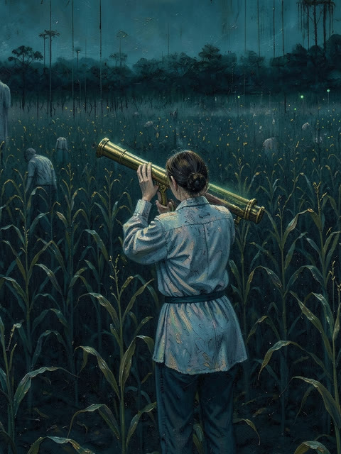
Earth observations scientist · What it does
Three tasks it takes off your hands
- Create and modify maps, graphs, or diagrams using geographical information software.
- Gather and compile geographic data from sources such as satellite imagery and existing maps.
- Develop, operate, and maintain geographical information computer systems including hardware and software.
Where these come from
The tasks of “Geographers” (O*NET 19-3092.00), as O*NET lists them:
- Create and modify maps, graphs, or diagrams, using geographical information software and related equipment, and principles of cartography, such as coordinate systems, longitude, latitude, elevation, topography, and map scales.
- Gather and compile geographic data from sources such as censuses, field observations, satellite imagery, aerial photographs, and existing maps.
- Develop, operate, and maintain geographical information computer systems, including hardware, software, plotters, digitizers, printers, and video cameras.
Earth observations scientist · Tools and industries
It works in the tools you already use
- Autodesk AutoCAD
- ESRI ArcGIS software
- Python
- Structured query language SQL
- Adobe Photoshop
- IBM SPSS Statistics
Industries it fits
Hire this roleRole facts from O*NET 31.0 Database (U.S. Department of Labor, Employment and Training Administration (USDOL/ETA), CC BY 4.0), written in our words. Sources and credits